Ridesharing and delivery apps have not only made modern life very convenient, but they’ve also played a critical role in keeping transportation and food services operational during the pandemic. At the heart of these types of services and other map navigation apps is the satellite-based radio navigation system that resides in each user’s smartphone. Although we commonly refer to this technology as GPS (Global Positioning System), the more general term is GNSS (Global Navigation Satellite Systems), referring to several such systems.
Although most of us use and cherish these apps, at times we may still find ourselves frustrated at the technology, having to manually override the pin location because a delivery or rideshare driver thinks that we are several houses over, or worse, on the other side of that highway overpass. The underlying problem with smartphone-based navigation systems is that they use low-cost GNSS receivers only capable of determining your position within one-to-tens of metres of accuracy. As you try to use the navigation system in a fast-moving vehicle, poor weather conditions, or among trees and downtown skyscrapers, you’ll find they hinder satellite communications and lead to inevitable routing errors and missed destinations.
This is the problem that Professor Sunil Bisnath and his students are trying to address at the GNSS Laboratory at York University’s Lassonde School of Engineering. Their goal is to increase the positional accuracy of these systems from one metre to within ten centimetres (a decimetre) using the same low-cost GNSS receivers. While solutions do exist for high-precision applications such as agriculture and surveying, these use specialized GNSS hardware which cost tens of thousands of dollars, making them unaffordable for consumer-level applications.
The group’s approach is to combine low-cost hardware and software. They use a software measurement processing technique called Precision Point Positioning (PPP) to remove or model GNSS errors and provide a high level of position accuracy from a single receiver. Next, they apply measurements from accelerometers and gyroscopes, which provide supporting orientation along with linear and rotational acceleration data. Collectively referred to as an Inertial Measurement Unit (IMU), these sensors are commonly found in phones, fitness trackers and wearables to track exercise motion. However, for navigation, IMUs are used to bridge the gap when no or limited satellite signals are available: in tunnels, around buildings and trees, inside buildings or when electronic interference is present.
Sudha Vana, a fifth-year PhD student in Professor Bisnath’s, lab showed that their approach can achieve and maintain positions for automotive applications better than more expensive hardware even when under test conditions simulating loss of signal from satellites.
“Since we are using low-cost systems, measurements are quite bad,” explains Vana. “We need to figure out which measurements are usable and add value.” Her next challenge is to simulate these satellite signal outages using real environments. She has been collecting data from Toronto areas to prove that this approach is robust for continuous navigation in urban environments.
Fourth-year PhD student Nacer Naciri’s research is focused on the rapid assessment of positional information. Navigation systems typically use multiple frequencies to assist in calculating accurate positions by communicating not only with the US-based GPS but also with international Galileo, GLONASS and BeiDou satellites. However, waiting for enough satellite data takes time. Thirty seconds of satellite communications achieve only metre-level accuracy. “Researchers have been using this technique for a long time, so why is there this time bottleneck?” asked Naciri. By combining the quality GNSS hardware and PPP processing, Naciri was able to get positional accuracy down to decimetres within the same half-minute. His goal is to reach the centimetre level with less than five seconds of data, which has significant use in scientific and engineering applications, ranging from earthquake monitoring to urban mapping.
Third-year PhD student, Ding Yi, is focused on smartphone-level hardware with the same goal of outperforming more-costly approaches. Yi accesses raw GNSS and IMU data directly from Android phones and optimally combines them using an algorithm called a Kalman Filter to accurately estimate position, velocity and time. The combination of disparate sensor data is called sensor fusion and the resulting information is more accurate than if these sources were used separately.
“These days, people rely heavily on smartphone positioning,” says Yi. “So, I feel that the work I am doing can really help improve their quality of life.” After integrating the smartphone’s GNSS receiver and IMU, he is looking to incorporate the camera, LiDAR (depth-sensing technology used to take photos and power Apple’s FaceID technology) and utilize artificial intelligence.
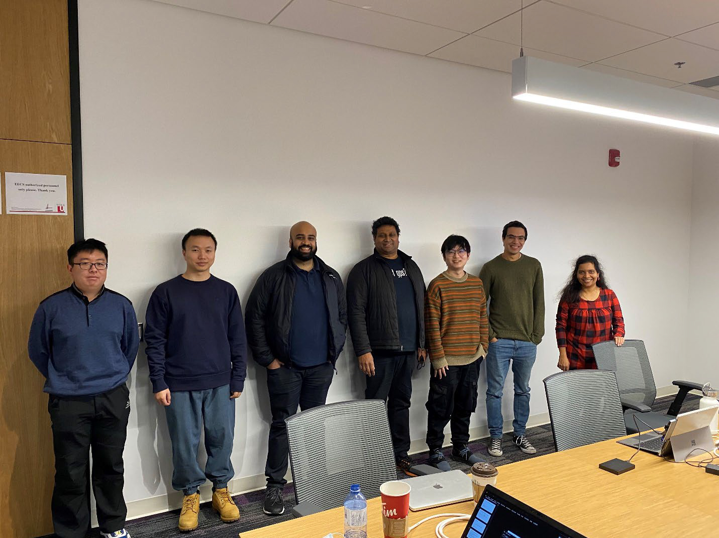
These three students are not only carrying out navigation research, but they have also navigated the globe in pursuit of their PhDs. Originally from India, Vana obtained a master’s degree in electrical engineering from Ohio University and worked in the Telematics Department at Volvo India before deciding to pursue doctoral studies at York University. Yi had completed a bachelor’s degree in geomatics in Wuhan, China, and a master’s degree at the University of Stuttgart before moving to Canada. Originally from Morocco, Naciri first earned a bachelor’s degree in aerospace engineering in France and learned of Professor Bisnath’s research in a GNSS course while pursuing a dual degree masters in France and Sweden.
Coming from different countries, the students had to adjust to life and the educational system in Canada. “I’m loving the academic experience here because people are friendly and very multicultural,” says Yi. They also had to face the challenges of graduate research. “The PhD journey is not one where you can just chance upon good results and sometimes this can be demotivating,” Vana says. “But Prof. Bisnath has been a great mentor because he guides us to focus on what we need to do.” Naciri agrees. “He lets you explore the areas that you enjoy and gives you the freedom to do what you like to work on,” says Naciri.
This past fall, Vana, Naciri, Yi and other students in Professor Bisnath’s lab presented their work at ION GNSS+ 2021, the most influential annual global GPS conference organized by the U.S. Institute of Navigation. Vana won a prestigious Student Paper Competition award, joining a long list of members of the GNSS Lab who have won this award over the years. “The strength of this research lab is its people,” says Professor Bisnath. “We have students from around the world, being given opportunities to do cutting-edge research, find great success, and leading them to wonderful careers and lives.”
The Bisnath lab is at the forefront of a major push in recent years to improve GNSS-based positioning from mass-market chips for smartphone and automotive applications including autonomous vehicles, unmanned aerial vehicles (UAVs) and virtual reality (VR). This research theme currently comprises approximately half of the activity of the GNSS Lab with the support of NSERC Discovery, the Canadian Space Agency, the Canadian Foundation for Innovation, the Lassonde Innovation Fund and numerous industrial partners, resulting in many peer-reviewed conference and journal publications, student training, industrial collaborations and potential industrial products.
Link to original article: https://lassonde.yorku.ca/international-students-navigating-their-phds-in-geomatics-research
